
Leandro Gómez 3D Scan
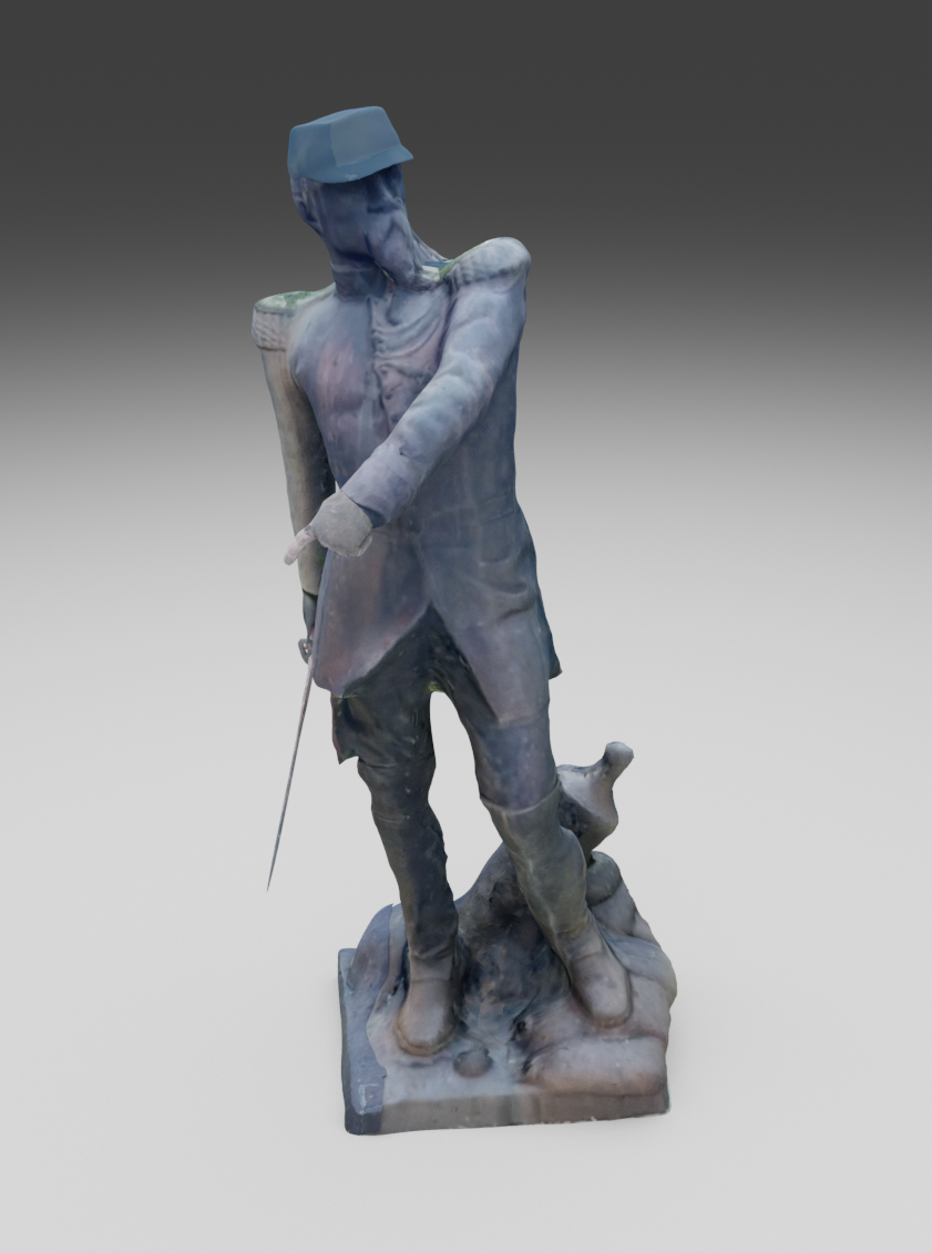
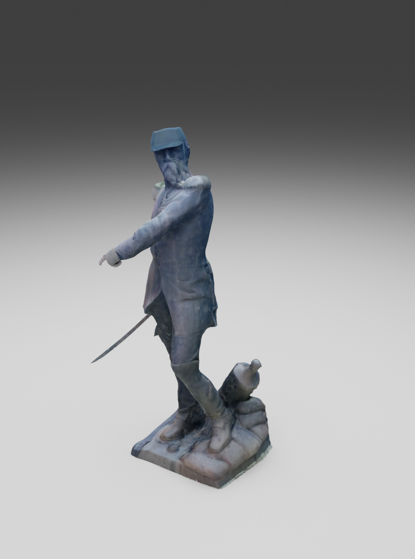
Photogrammetric 3D record of the General Leandro Gómez Monument, created from 360° images captured in Plaza Constitución, Paysandú.
Model
Interactive 3D model. Drag to rotate.
Summary
A three-dimensional record created in 2021 from 360° imagery of the General Leandro Gómez Monument in Plaza Constitución, Paysandú. The project converted a photographic survey of the monument into a textured mesh for inspection, visualisation and digital preservation.
The work was produced for Percibal Architecture Studio and included on-site capture, photogrammetric reconstruction, mesh cleanup, texture mapping and rendering.
My role
I was responsible for photogrammetric processing, model cleanup and production of the final images. For this publication, I also prepared the original mesh as an interactive, web-optimised model.
Context and original piece
The sculpture depicts General Leandro Gómez, a central figure in the 1864–1865 Defence of Paysandú. Created by French sculptor Léon Pilet, the work forms part of the monument at the centre of Plaza Constitución.
The scan was produced in 2021 and therefore records the monument before the renovation and reconfiguration of the square completed in 2024.
Objective
The objective was to produce a recognisable digital replica through an accessible, non-contact capture method. Rather than reconstructing an idealised surface, the priority was to retain the form, material qualities and visible traces of the original sculpture.
Photogrammetric capture
The statue was photographed from multiple positions around its perimeter. Image overlap provided the matching features required to estimate the relative camera positions and reconstruct the volume without physical contact with the monument.
Working in an open square introduced conditions that were difficult to control: changing light, reflections, vegetation, sky and partially occluded areas. These variations remain visible in the model and account for some of its gaps and irregularities.
Reconstruction
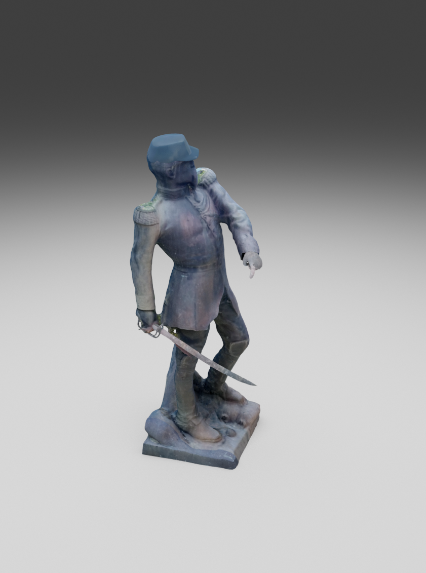
The images were aligned to generate a point cloud, from which the three-dimensional mesh was built. Fragments of the surrounding environment were removed, floating geometry was corrected and the surface was prepared for texture projection.
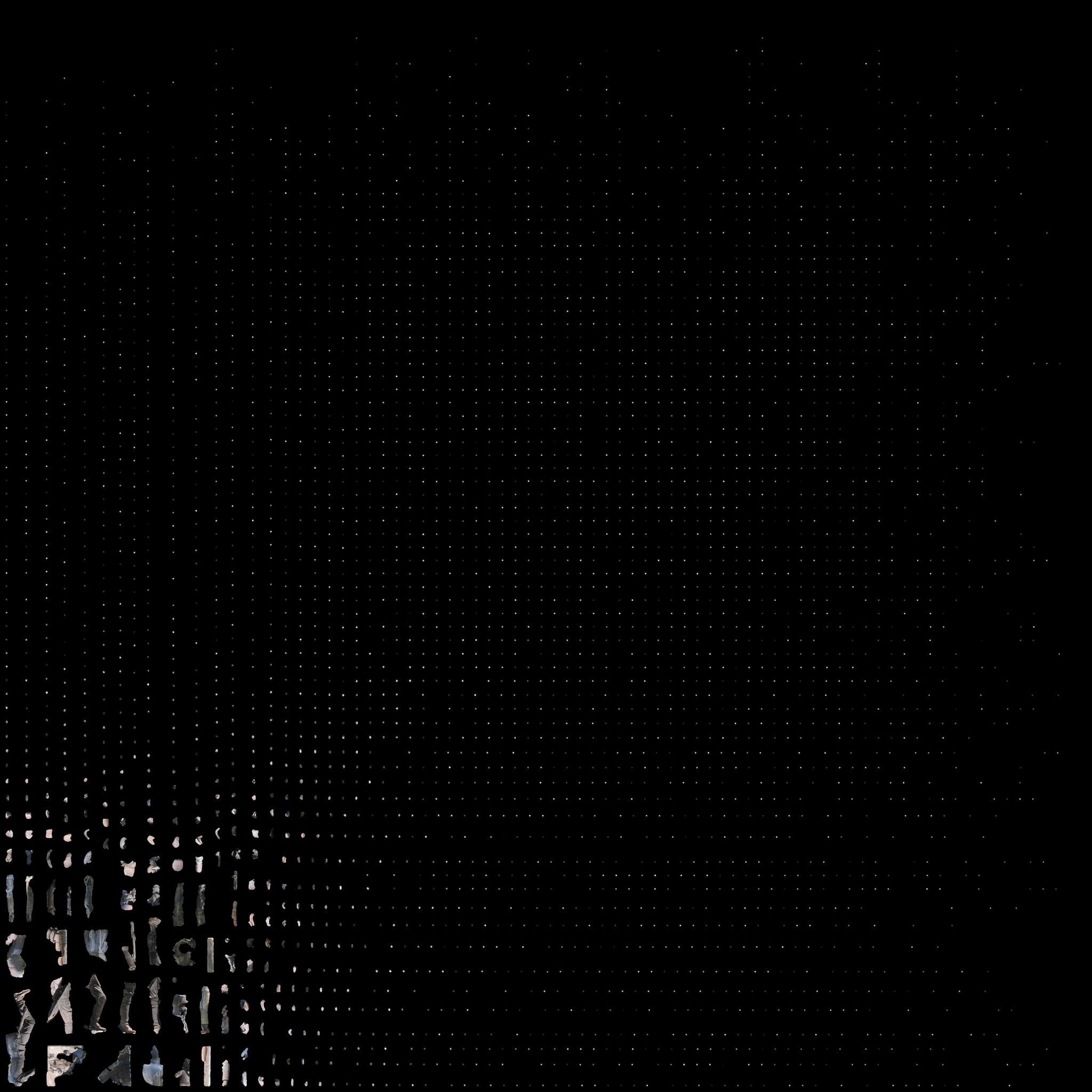
The final texture is arranged as a UV atlas: a single image that consolidates hundreds of surface fragments and maps them back onto the 3D geometry.
Representation
Missing areas were not manually reconstructed as if they formed part of the captured data. Deformations, discontinuities and lower-resolution regions document both the sculpture and the technical limits of the survey.
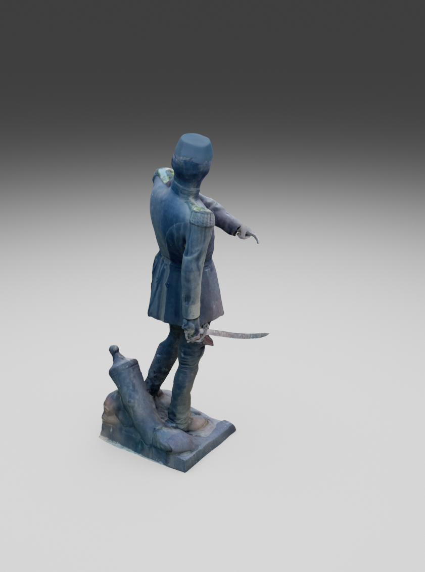
The presentation uses two complementary formats. The interactive model preserves the spatial experience of moving around the sculpture, while the still renders establish viewpoints for examining its silhouette, uniform, sword and relationship to the base.
Result and digital archive
The result is a three-dimensional record that can be examined remotely and from any viewpoint. The source mesh contains approximately 1.5 million triangles; the interactive version was reduced to about 220,000, retaining the texture and overall silhouette in a 5.4 MB file.
The original FBX remains the high-resolution master. The web model is an optimised derivative.